Local Health Intelligence
Local Infographics Reports
Our infographics reports are available for all areas of the UK.
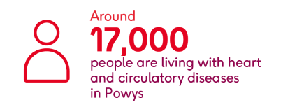
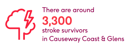
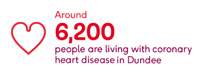
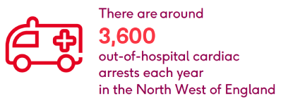
Our local infographics reports display our key health statistics in a visual and engaging way. Available on request - please email [email protected] with your requirements.


We have reports available for all of the following administrative and health areas:
UK
England
- Administrative - nation, regions, ceremonial and metropolitan counties, unitary authorities, district councils, London boroughs, metropolitan district councils and boroughs
- Health - integrated care systems (ICS/ICBs; formerly STPs)
Scotland
- Administrative - nation, unitary authorities (councils)
- Government - Holyrood constituencies and regions
- Health - health & social care partnerships (HSCPs), NHS regions (health boards)
Northern Ireland
- Administrative - nation, district councils
- Government - Stormont constituencies
- Health - health & social care trusts (HSCTs), GP federations (formerly ICPs)
Wales
- Administrative - nation, ceremonial (preserved) counties, unitary authorities (councils)
- Government - Senedd constituencies and regions
- Health - Welsh health boards (WHBs)
Statistics and infographics in Welsh
Cymru - i weld ystadegau a ffeithluniau Cymraeg, cliciwch yma
Find out more about our health statistics
We collect the most comprehensive statistics on the effects, prevention, treatment, costs and causes of heart and circulatory diseases in the UK. Browse these pages to discover the latest statistics and evidence to support our work to beat heartbreak forever.

